Andrews Bald
A 3.6-mile round trip down the Forney Ridge Trail from the Clingmans Dome lot to a grassy, view-soaked mountaintop meadow, the highest bald in the Smokies.
Record this hike live
Recording keeps going as you move between screens, even with the screen off. Finish or Discard stops it.
- Length
- 3.6 mi
- Elevation gain
- 900 ft
- Difficulty
- moderate
- Route
- out-and-back
Trail conditions
No recent condition reports. Hiked it lately?
Report current conditions →Elevation
2.6 mi · 435 ft of climbing · high 6,638 ft · low 5,718 ft
Find the trailhead
Parking
Start from the large Clingmans Dome lot at the end of Clingmans Dome Road; the road is closed in winter.
Clingmans Dome Road typically closes December through March.
Directions to parkingWeather at the trailhead
63°FClear now
Sunrise 6:39 AM · Sunset 8:41 PM
- TodayRain showers67° / 57°F49% precip
- WedDrizzle61° / 53°F20% precip
- ThuMainly clear67° / 46°F5% precip
Forecast from Open-Meteo. Mountain conditions change fast; check again before you go.
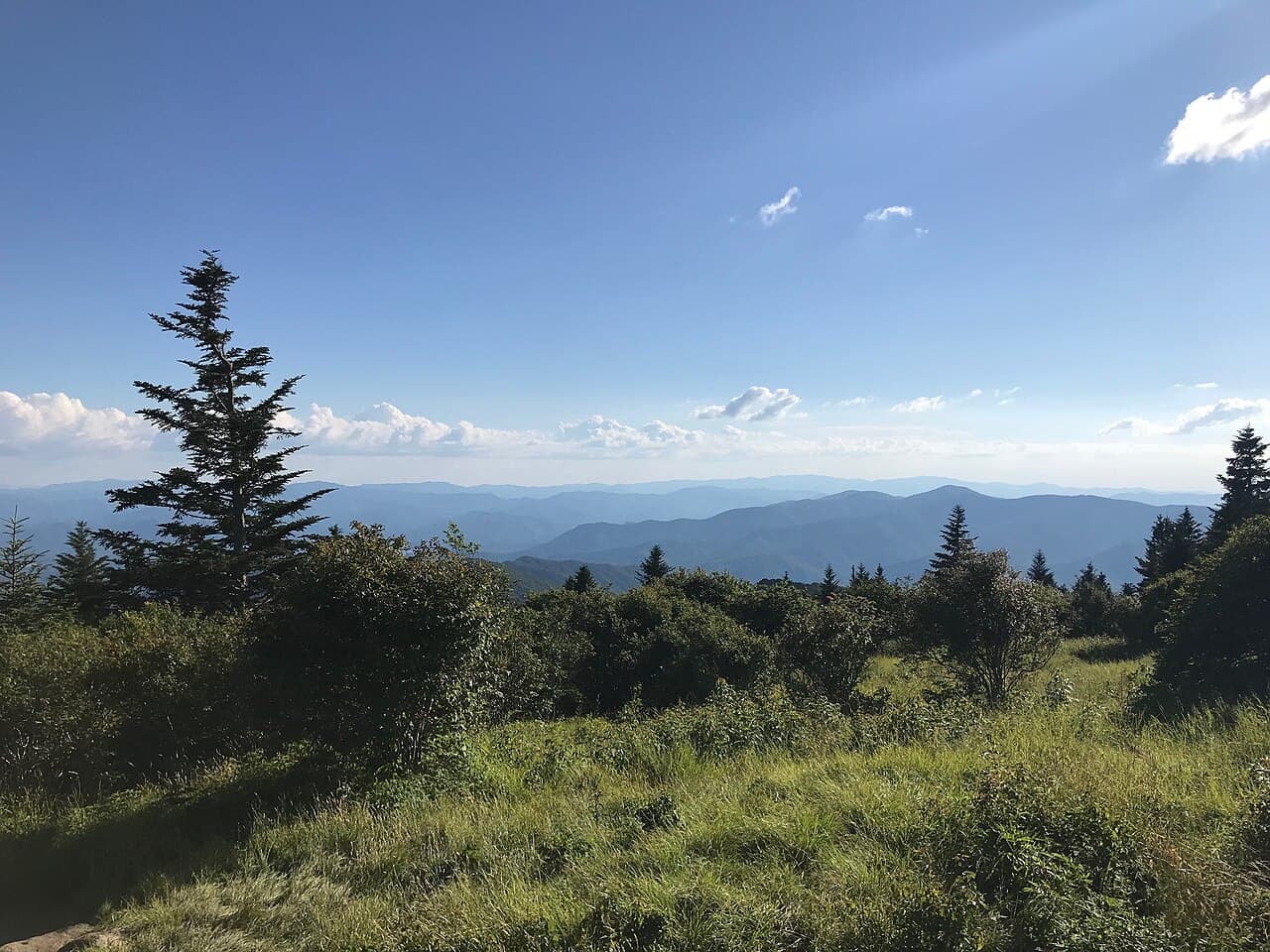
Andrews Bald is the highest grassy bald in the park, an open mountaintop meadow surrounded by spruce-fir forest with sweeping views toward Fontana Lake and the southern mountains. The Forney Ridge Trail leaves the Clingmans Dome parking area and drops through a high-elevation forest of moss, fern, and weathered spruce, with a rocky, root-laced tread that earns the moderate rating on the climb back out. In June the bald blazes with flame azalea and rhododendron; late summer brings blueberries. Pack a layer, since it is cool and often cloudy at 5,800 feet. A parking tag is required park-wide.