
Est. 2026 · The Volunteer State
Explore Tennessee.
Together.
A community built around Tennessee trails, mountains, waterfalls, and the people who love exploring them.
Explore
From the Smokies to the Cumberland Plateau, find trails worth the drive: searchable, mapped, and photographed.
Connect
A club for everyone who loves Tennessee on foot: share favorites and help build the most complete trail map in the state.
Protect
We hike responsibly and teach Leave No Trace, so the trails we love stay wild for the next boots on the path.
What you can do
Everything you need to find your next trail
Interactive Tennessee map
A stylized, clickable map of the state. Tap a pin to open a trail.
Photos & trail details
Distance, elevation, difficulty, and a gallery for every trail.
One-tap directions
Jump straight to Google Maps for turn-by-turn to the trailhead.
Club merch
Tees, stickers, and hats. Coming soon to help fund the project.
Three Tennessees
One state, three very different hikes
Mountains & mist
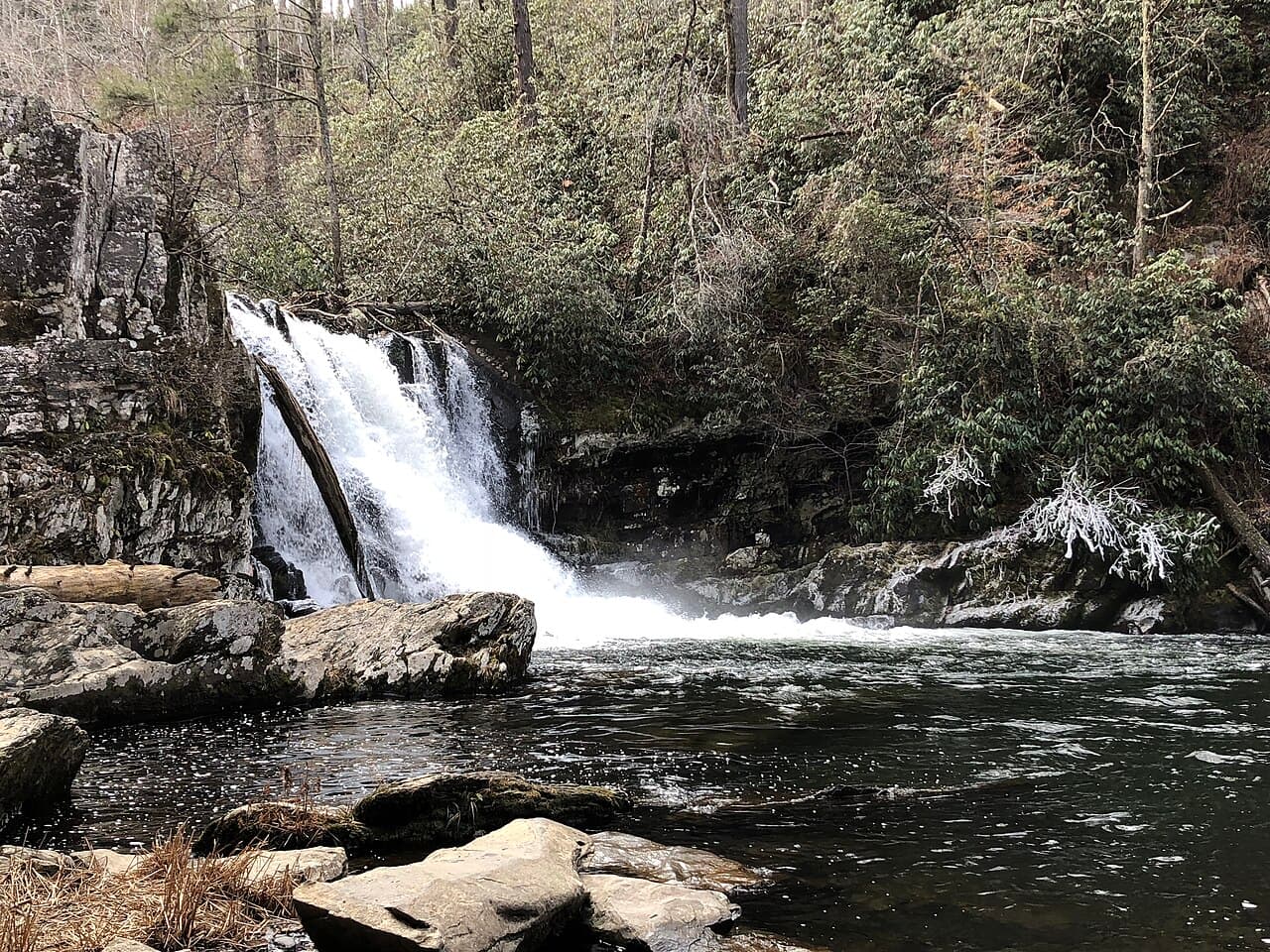
The Great Smokies and Blue Ridge: high balds, waterfalls, and the highest peaks east of the Mississippi.
Plateau & gorges
The Cumberland Plateau and Highland Rim: deep gorges, sandstone arches, and the state’s most dramatic waterfalls.
Rivers & bottomlands
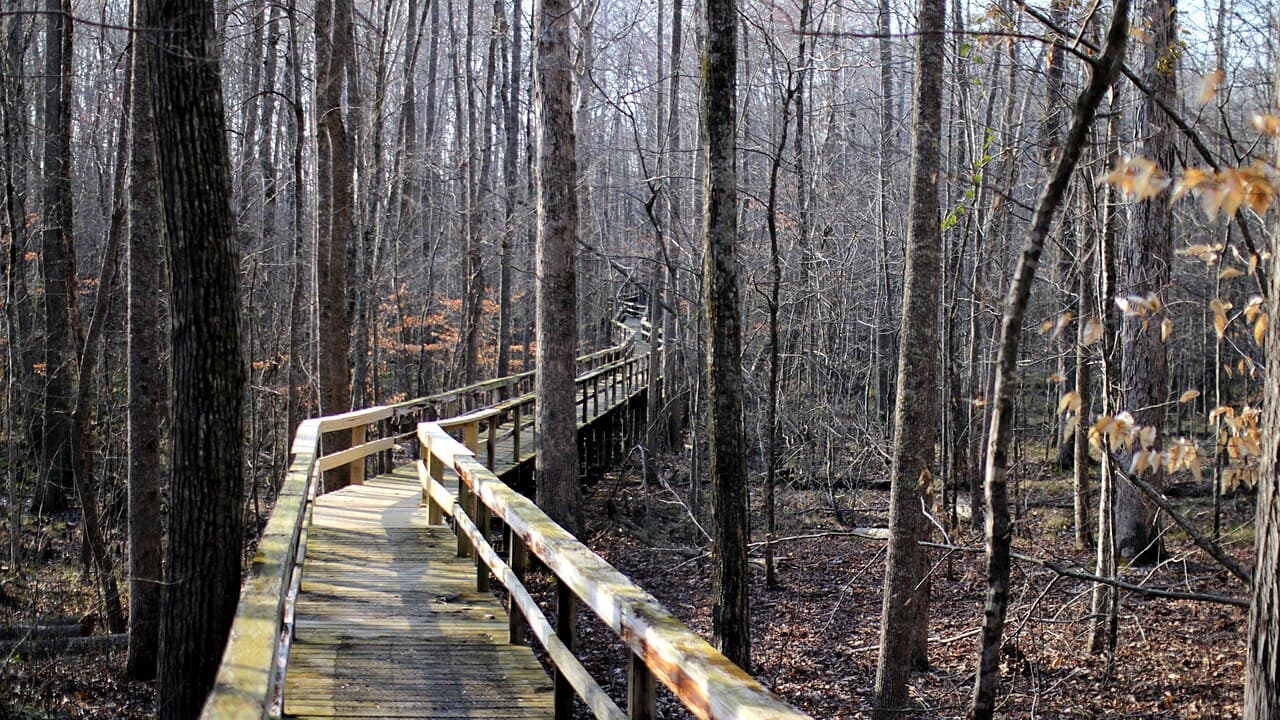
Bottomland forests and bluffs along the Mississippi: quiet, flat, and full of birdsong.
Help map the Volunteer State
This is an open-source, community project. Know a trail we’re missing? Add it. Every contribution makes the map better.