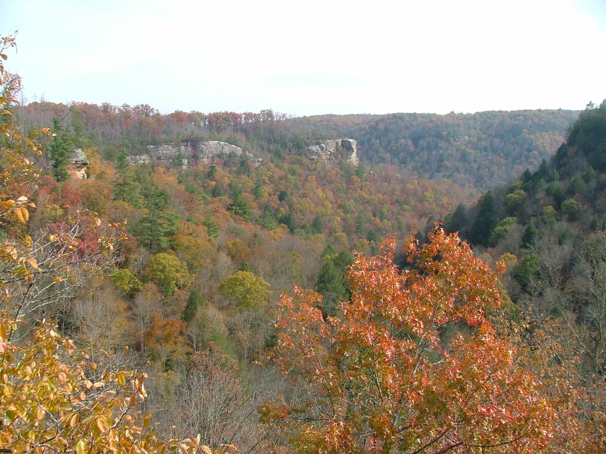
Angel Falls Overlook
A 4.6-mile round trip on the John Muir Trail from Leatherwood Ford, following the Big South Fork downstream before a stiff 500-foot climb to a clifftop overlook high above the Angel Falls rapid.
Record this hike live
Recording keeps going as you move between screens, even with the screen off. Finish or Discard stops it.
- Length
- 4.6 mi
- Elevation gain
- 737 ft
- Difficulty
- hard
- Route
- out-and-back
Trail conditions
No recent condition reports. Hiked it lately?
Report current conditions →Elevation
2.3 mi · 737 ft of climbing · high 1,337 ft · low 861 ft
Find the trailhead
Parking
Large paved day-use lot at Leatherwood Ford on TN-297, with restrooms and a riverside boardwalk; the road into the gorge is steep and winding but fully paved.
Directions to parkingWeather at the trailhead
83°FClear now
Sunrise 6:42 AM · Sunset 8:48 PM
- TodayOvercast91° / 74°F17% precip
- WedMainly clear85° / 69°F2% precip
- ThuOvercast85° / 60°F0% precip
Forecast from Open-Meteo. Mountain conditions change fast; check again before you go.
This is the classic Big South Fork gorge hike: from the Leatherwood Ford day-use area you cross the river on the old low-water bridge beneath the highway span, then follow the John Muir Trail downstream along the west bank for nearly two miles of easy, hemlock-shaded walking beside the water. At Fall Branch the character changes abruptly, and the trail switchbacks roughly 500 feet up through boulders and bluff lines to the rim, where a bare sandstone ledge hangs directly above the Angel Falls rapid with the finest river view in the park. The overlook is an unfenced cliff with serious exposure, so keep a firm hand on kids and dogs, and the climb's rock steps get slick after rain. Note that OpenStreetMap flags the short John Muir Trail section at Fall Branch as closed for a washed-out footbridge even though the park's current-conditions page lists no closure, so check with the Bandy Creek visitor center before counting on this route. Summer haze mutes the view; late fall, with the gorge walls bare, is the best season.