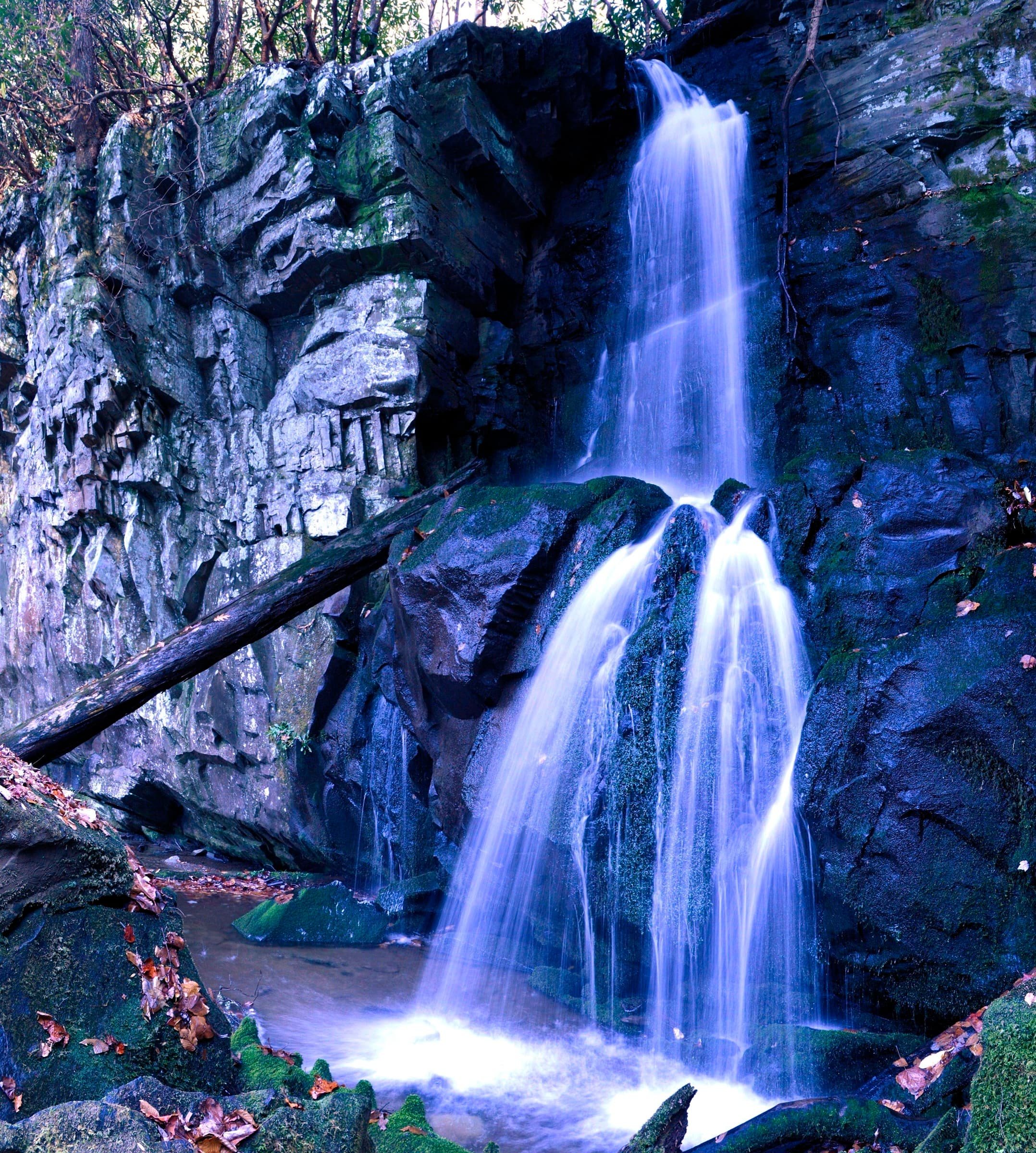
Baskins Creek Falls
A quiet 3-mile round trip off the Roaring Fork Motor Nature Trail to the secluded 40-foot Baskins Creek Falls, trading an early descent for a steady climb back.
Record this hike live
Recording keeps going as you move between screens, even with the screen off. Finish or Discard stops it.
- Length
- 3 mi
- Elevation gain
- 953 ft
- Difficulty
- moderate
- Route
- out-and-back
Trail conditions
No recent condition reports. Hiked it lately?
Report current conditions →Elevation
3.4 mi · 647 ft of climbing · high 2,879 ft · low 2,092 ft
Find the trailhead
Parking
Pullout on the one-way Roaring Fork Motor Nature Trail near Gatlinburg; a park parking tag is required. The loop road is closed in winter and to RVs/buses. Pets are not allowed on park trails.
Directions to parkingWeather at the trailhead
70°FClear now
Sunrise 6:41 AM · Sunset 8:39 PM
- TodayOvercast81° / 60°F4% precip
- SatRain79° / 70°F50% precip
- SunRain showers84° / 63°F53% precip
Forecast from Open-Meteo. Mountain conditions change fast; check again before you go.
The Baskins Creek Trail leaves the one-way Roaring Fork Motor Nature Trail and descends through hardwood forest and an old homesite clearing before a short spur drops to the falls. Because you lose elevation on the way in, the return is the work, about 950 feet of climbing back to the car. It is a quieter alternative to the busy waterfalls nearby.