Travis McNatt Lake Trail
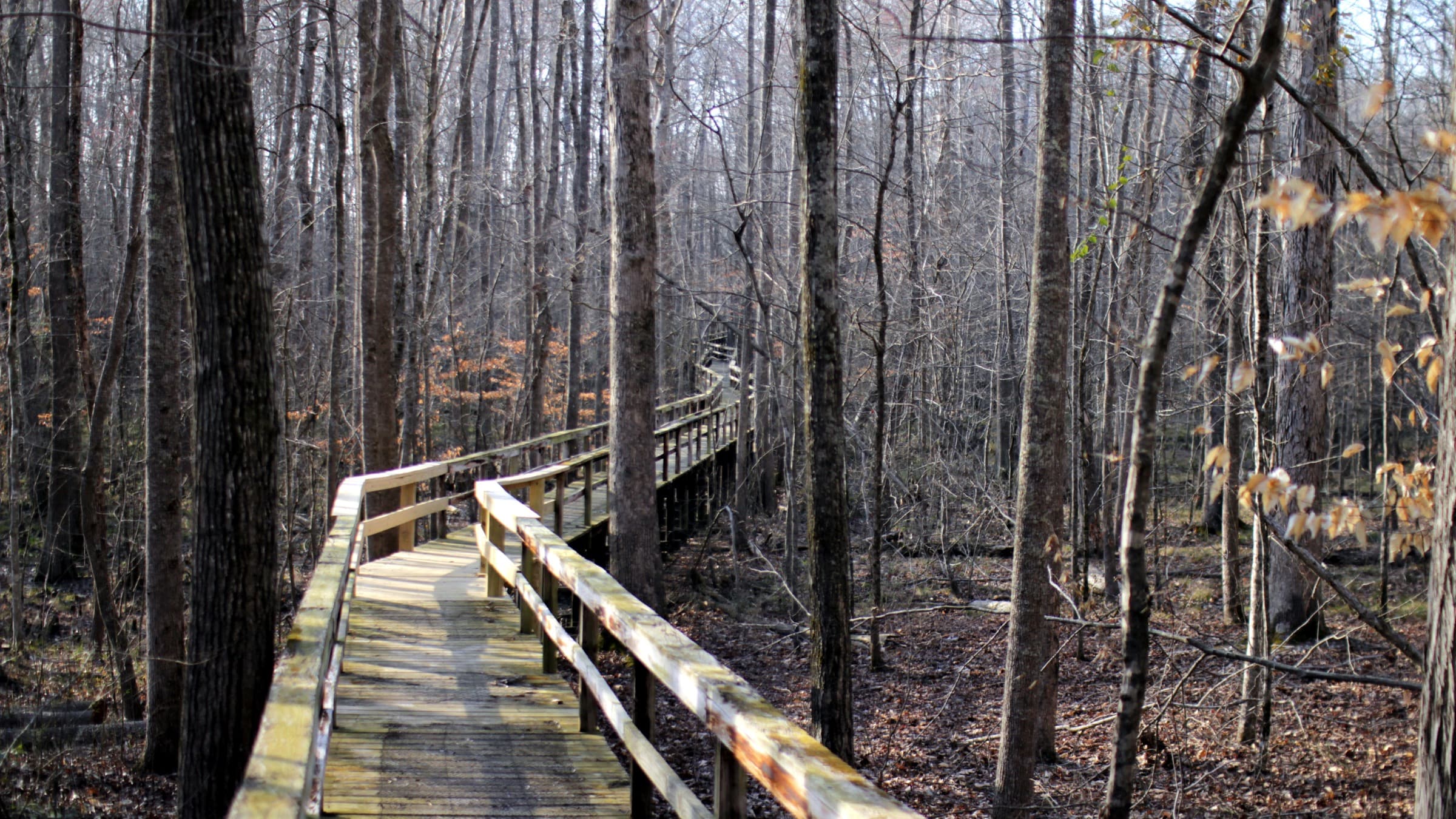
A flat loop around Travis McNatt Lake in far southwest Tennessee, crossing the long boardwalk over the Cypress Creek swamp bottoms.
Record this hike live
Recording keeps going as you move between screens, even with the screen off. Finish or Discard stops it.
- Length
- 4.3 mi
- Elevation gain
- 35 ft
- Difficulty
- moderate
- Route
- loop
Trail conditions
No recent condition reports. Hiked it lately?
Report current conditions →Elevation
4.3 mi · 2 ft of climbing · high 410 ft · low 409 ft
Find the trailhead
Parking
Big Hill Pond State Park day-use area near Pocahontas; free, no entrance fee. The boardwalk and lakeside tread stay wet in spots after rain. Leashed pets are welcome.
Directions to parkingWeather at the trailhead
76°FClear now
Sunrise 6:03 AM · Sunset 7:58 PM
- TodayFog92° / 69°F19% precip
- SatOvercast91° / 72°F25% precip
- SunDrizzle83° / 66°F22% precip
Forecast from Open-Meteo. Mountain conditions change fast; check again before you go.
Big Hill Pond sits where the Cypress Creek bottoms meet the hills above the Mississippi line, and this loop circles Travis McNatt Lake before threading the park's signature boardwalk across the swamp. The walking is flat and easy underfoot, good for birding and turtles along the water, with the longer Dismal Branch and tower trails branching off for hikers who want to climb to the fire-tower overlook. It is one of the few West Tennessee loops with this much water and forest in one walk.