Big River Crossing
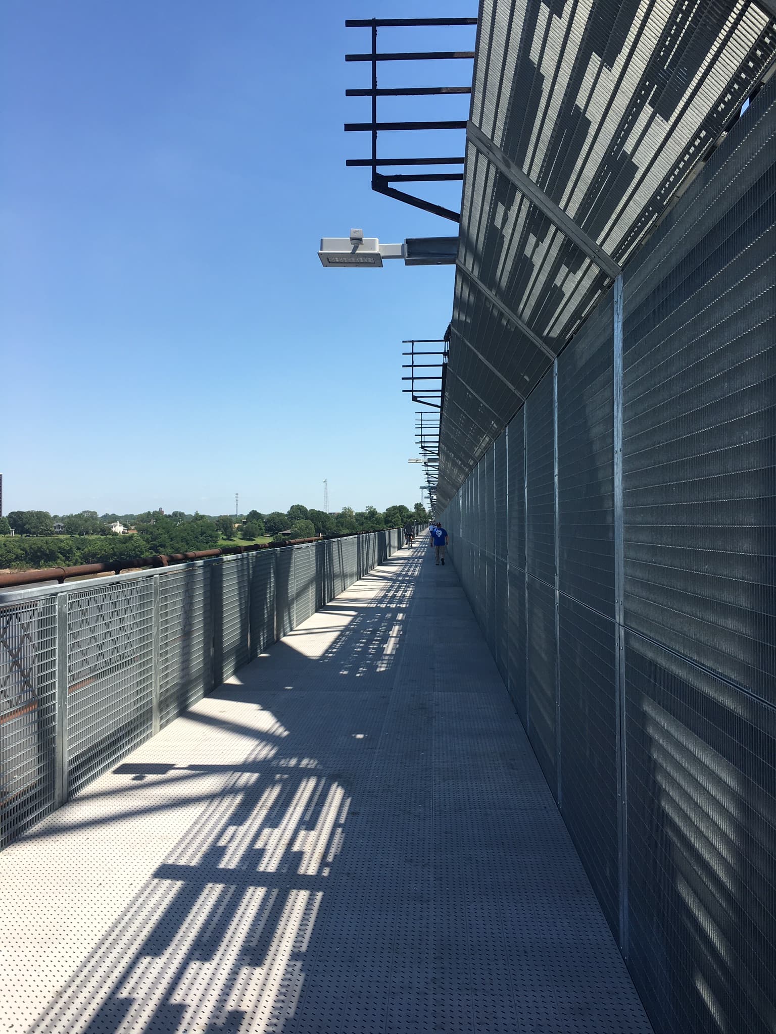
A nearly mile-long elevated walkway on the 1916 Harahan Bridge, the longest public pedestrian crossing of the Mississippi River, linking Memphis to Arkansas.
Record this hike live
Recording keeps going as you move between screens, even with the screen off. Finish or Discard stops it.
- Length
- 2 mi
- Elevation gain
- 40 ft
- Difficulty
- easy
- Route
- out-and-back
Trail conditions
No recent condition reports. Hiked it lately?
Report current conditions →Elevation
1.4 mi · 41 ft of climbing · high 295 ft · low 206 ft
Find the trailhead
Parking
Memphis-side trailhead at Martyrs Park on Channel 3 Drive; free, open daily 6am to 10pm. There is no shade and the river wind can be stiff.
Directions to parkingWeather at the trailhead
90°FOvercast now
Sunrise 6:08 AM · Sunset 8:04 PM
- TodayOvercast92° / 74°F27% precip
- SatOvercast89° / 72°F24% precip
- SunDrizzle80° / 69°F17% precip
Forecast from Open-Meteo. Mountain conditions change fast; check again before you go.
Opened in 2016 on a repurposed roadway of the historic Harahan rail bridge, Big River Crossing carries walkers and cyclists on a fenced steel-grate deck high above the Mississippi. The paved approach at Martyrs Park climbs gently onto the span, with open views of the Memphis skyline, the Hernando de Soto bridge, and barge traffic below. It is fully accessible and lit nightly; sunrise and sunset crossings are the best.