High Ridge and Shoreline Loop
A 3-mile loop combining the wooded High Ridge Trail with the lakeshore Shoreline Trail along the Bledsoe Creek arm of Old Hickory Lake.
Record this hike live
Recording keeps going as you move between screens, even with the screen off. Finish or Discard stops it.
- Length
- 3 mi
- Elevation gain
- 269 ft
- Difficulty
- moderate
- Route
- loop
Trail conditions
No recent condition reports. Hiked it lately?
Report current conditions →Elevation
2.9 mi · 306 ft of climbing · high 584 ft · low 445 ft
Find the trailhead
Parking
Connector across from the visitor center (400 Zieglers Fort Road, Gallatin); free. Expect short steep pitches and muddy patches near the shore.
Directions to parkingWeather at the trailhead
75°FClear now
Sunrise 5:51 AM · Sunset 7:52 PM
- TodayOvercast89° / 63°F4% precip
- SatDrizzle87° / 72°F39% precip
- SunDrizzle77° / 66°F43% precip
Forecast from Open-Meteo. Mountain conditions change fast; check again before you go.
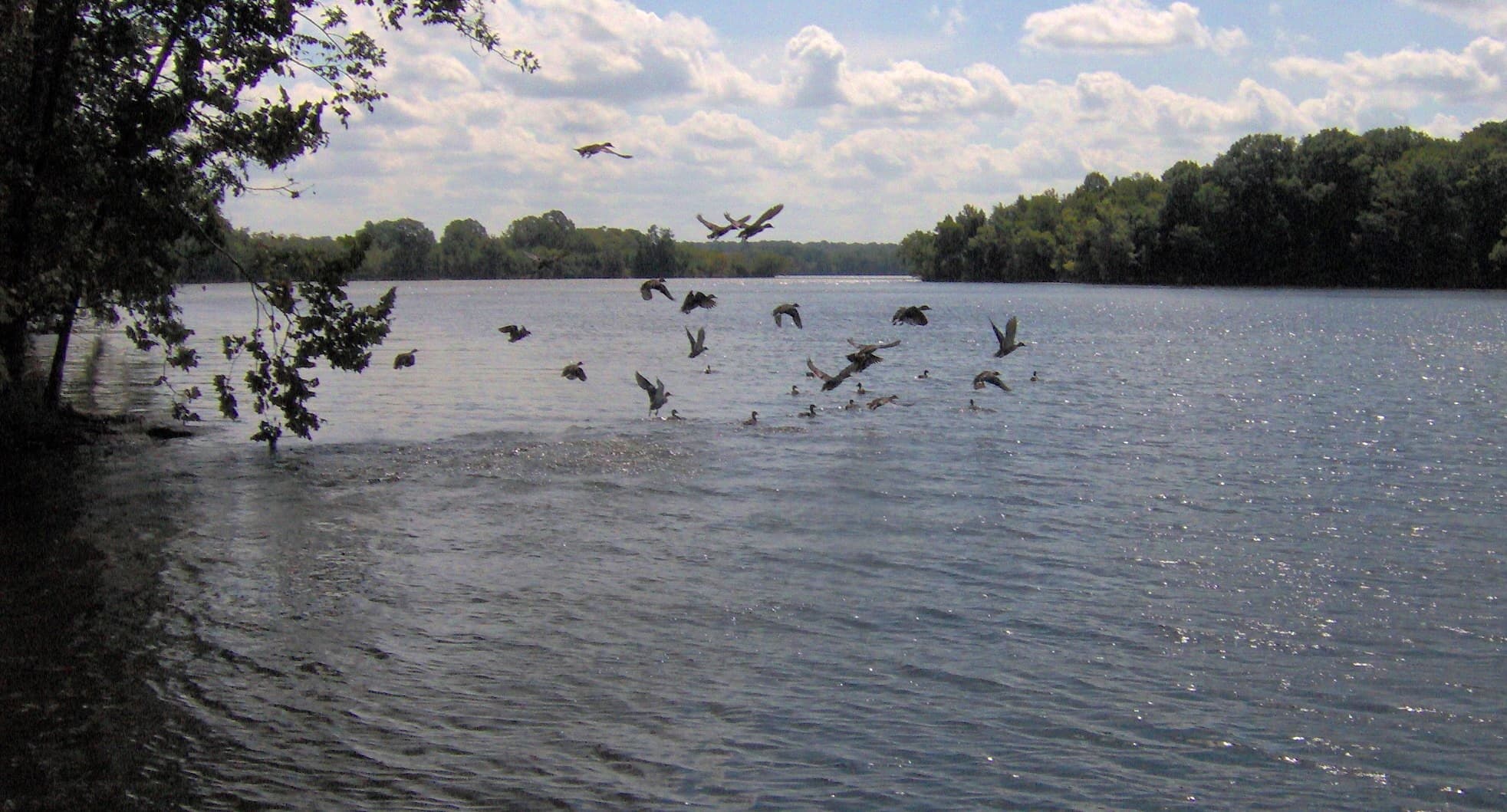
From the connector across from the visitor center, the loop climbs through hardwoods on the High Ridge Trail, then drops to the water and follows the Shoreline Trail along the Bledsoe Creek embayment of Old Hickory Lake. It passes a boat ramp, campground, and picnic areas, and the lakeside woods are a well-known spot for birding and wildlife.