
Burgess Falls
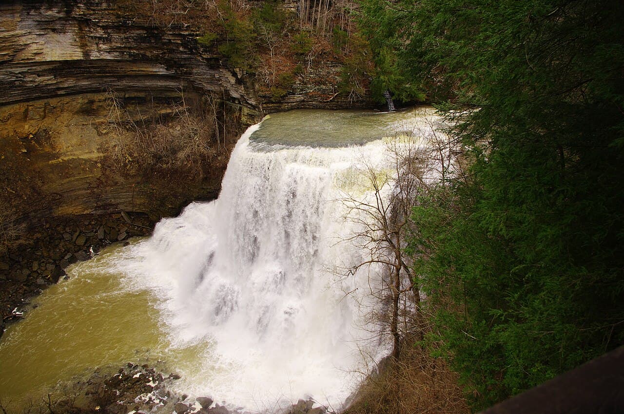
Four cascading waterfalls in a mile and a half along the Falling Water River, ending at a 130-foot plunge.
Record this hike live
Recording keeps going as you move between screens, even with the screen off. Finish or Discard stops it.
- Length
- 1.6 mi
- Elevation gain
- 250 ft
- Difficulty
- moderate
- Route
- out-and-back
Trail conditions
No recent condition reports. Hiked it lately?
Report current conditions →Elevation
1.4 mi · 370 ft of climbing · high 903 ft · low 745 ft
Find the trailhead
Parking
Nearest parking from OpenStreetMap (not verified by us).
Directions to parkingParking data © OpenStreetMap contributors.
Weather at the trailhead
58°FClear now
Sunrise 6:47 AM · Sunset 6:09 PM
- TodayFog83° / 57°F1% precip
- WedOvercast87° / 63°F2% precip
- ThuOvercast83° / 67°F6% precip
Forecast from Open-Meteo. Mountain conditions change fast; check again before you go.
The River Trail leaves the parking lot and follows the Falling Water River past Upper Falls, Middle Falls, and the Cascades before reaching the Main Falls overlook, where the river drops 130 feet into a wide gorge. The Service Road provides a longer loop option; the staircase descent to the lower viewing platform is steep and slick when wet. Dogs welcome on leash; no entry fees.