Hidden Springs Trail
A roughly 4-mile loop through the rare limestone cedar glades and oak-hickory woods near Lebanon.
Record this hike live
Recording keeps going as you move between screens, even with the screen off. Finish or Discard stops it.
- Length
- 4.1 mi
- Elevation gain
- 157 ft
- Difficulty
- moderate
- Route
- loop
Trail conditions
No recent condition reports. Hiked it lately?
Report current conditions →Elevation
3.8 mi · 187 ft of climbing · high 723 ft · low 639 ft
Find the trailhead
Parking
Trailhead off Cedar Forest Road; free trail access. Footing can be rocky over exposed limestone.
Directions to parkingWeather at the trailhead
73°FMainly clear now
Sunrise 5:51 AM · Sunset 7:51 PM
- TodayOvercast85° / 63°F4% precip
- SatRain showers83° / 70°F48% precip
- SunDrizzle76° / 65°F40% precip
Forecast from Open-Meteo. Mountain conditions change fast; check again before you go.
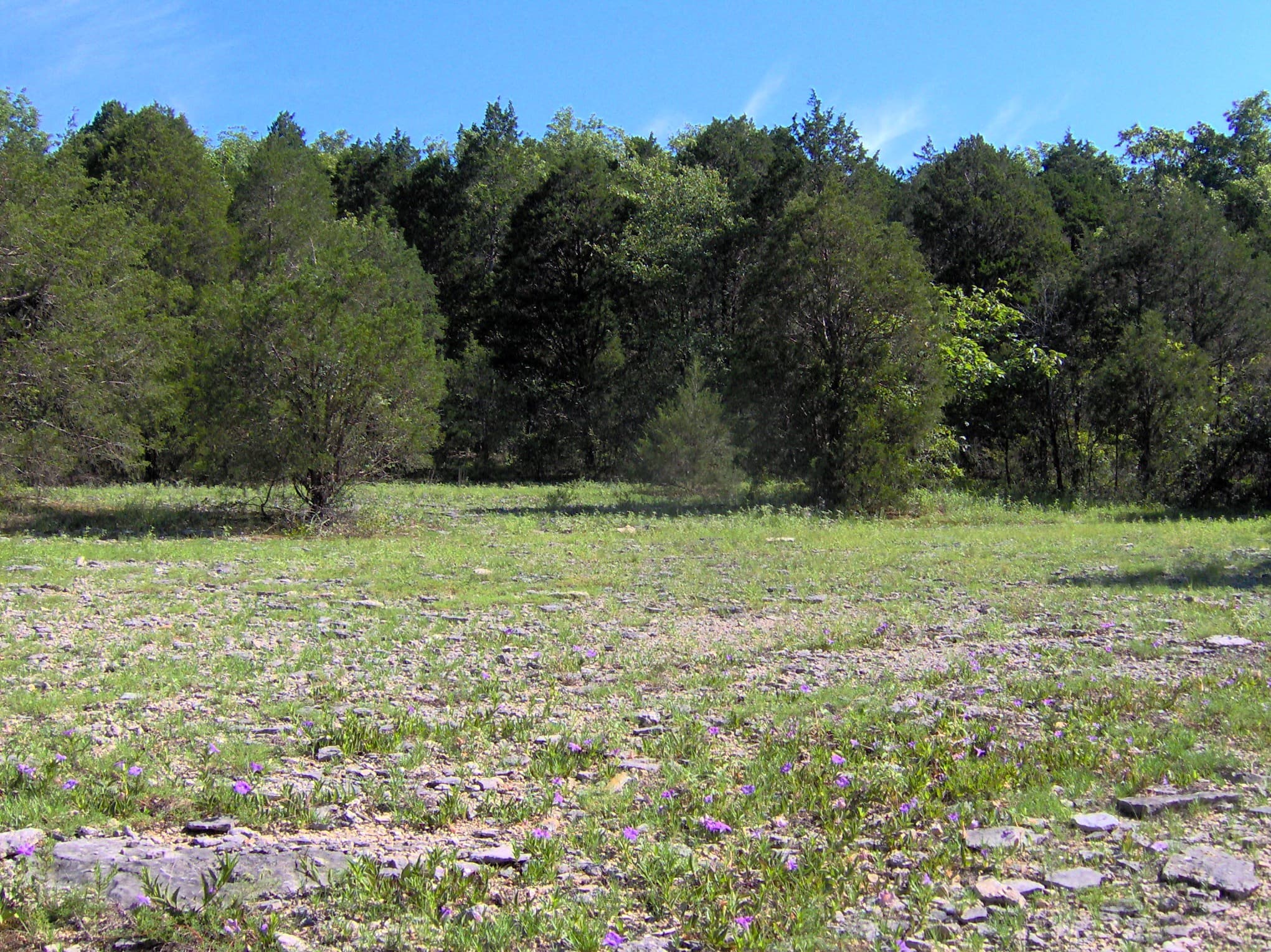
The park's longest loop winds past globally rare cedar glades, seasonal wet-weather streams, and a deep round sinkhole for which the trail is named. Interpretive signs explain the unusual glade ecology and its endemic plants. The terrain is gentle, though the limestone underfoot is uneven in places.