Chestnut Ridge Trail
A short, steep out-and-back from the historic Dave Miller Homestead to an overlook framing the Roan Highlands.
Record this hike live
Recording keeps going as you move between screens, even with the screen off. Finish or Discard stops it.
- Length
- 2.3 mi
- Elevation gain
- 511 ft
- Difficulty
- moderate
- Route
- out-and-back
Trail conditions
No recent condition reports. Hiked it lately?
Report current conditions →Elevation
1.8 mi · 452 ft of climbing · high 3,764 ft · low 2,848 ft
Find the trailhead
Parking
Miller Farmstead parking; free. The ridge rolls with steep ups and downs despite a modest net gain.
Directions to parkingWeather at the trailhead
72°FClear now
Sunrise 6:35 AM · Sunset 8:34 PM
- TodayOvercast73° / 54°F1% precip
- SatOvercast73° / 63°F24% precip
- SunDrizzle77° / 62°F66% precip
Forecast from Open-Meteo. Mountain conditions change fast; check again before you go.
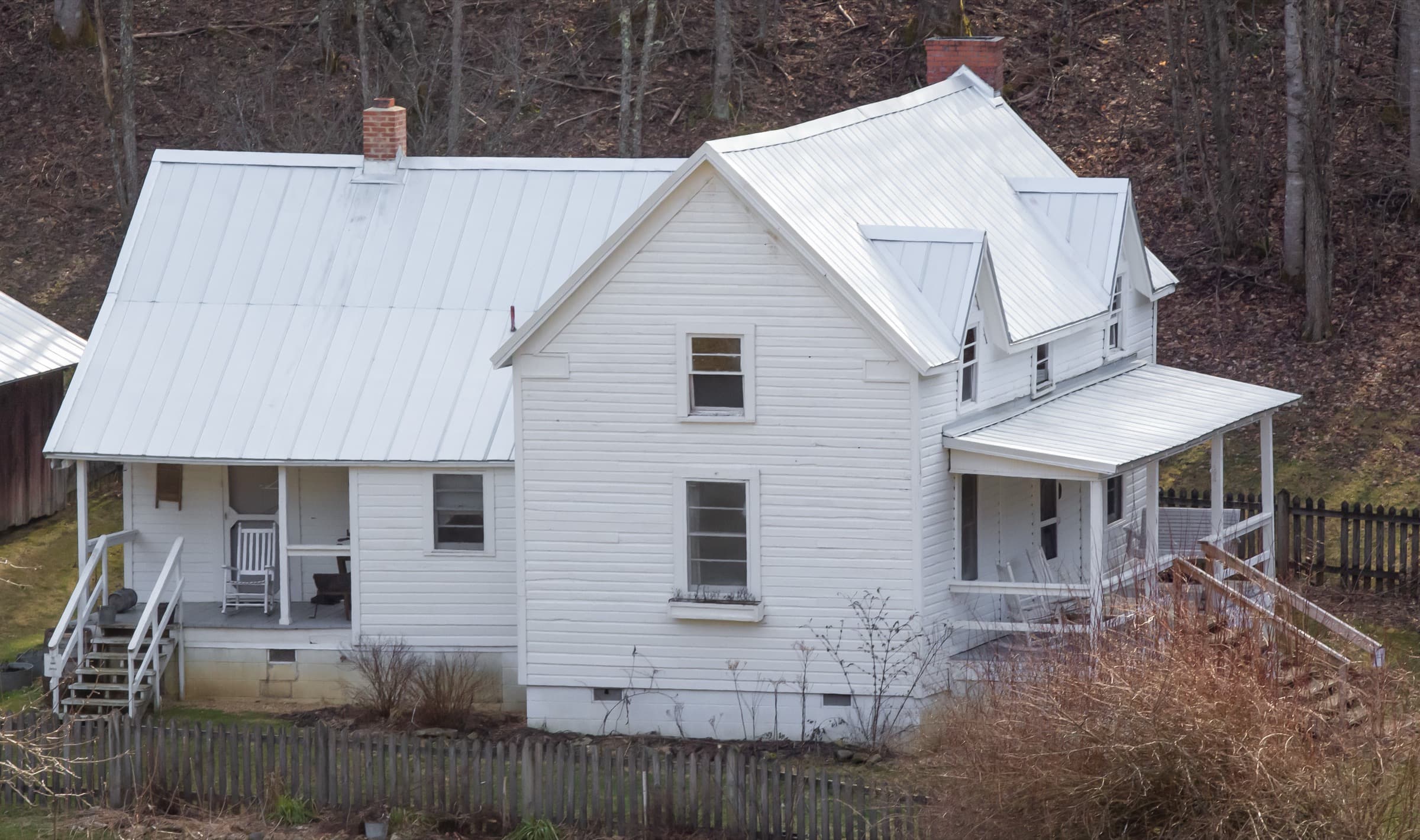
The trail begins at the Miller Farmstead, a 1900s Appalachian homestead on the National Register of Historic Places, and climbs through deciduous forest and rhododendron along Chestnut Ridge. It rolls over a series of steep pitches before reaching an overlook platform that frames the Roan Highlands from Big Hump Mountain to Carvers Gap. This is the lower state-park trail, distinct from the high Roan balds.