Tri-State Peak Trail
A short but steady climb from the town of Cumberland Gap up the historic Wilderness Road to Tri-State Peak, where Tennessee, Kentucky, and Virginia meet.
Record this hike live
Recording keeps going as you move between screens, even with the screen off. Finish or Discard stops it.
- Length
- 1.3 mi
- Elevation gain
- 380 ft
- Difficulty
- moderate
- Route
- out-and-back
Trail conditions
No recent condition reports. Hiked it lately?
Report current conditions →Elevation
0.7 mi · 378 ft of climbing · high 1,688 ft · low 1,316 ft
Find the trailhead
Parking
Iron Furnace and Wilderness Road trailhead in Cumberland Gap, TN; free, no entrance fee. Leashed pets are welcome.
Directions to parkingWeather at the trailhead
71°FClear now
Sunrise 6:40 AM · Sunset 8:41 PM
- TodayFog86° / 60°F0% precip
- SatDrizzle86° / 66°F64% precip
- SunDrizzle81° / 65°F64% precip
Forecast from Open-Meteo. Mountain conditions change fast; check again before you go.
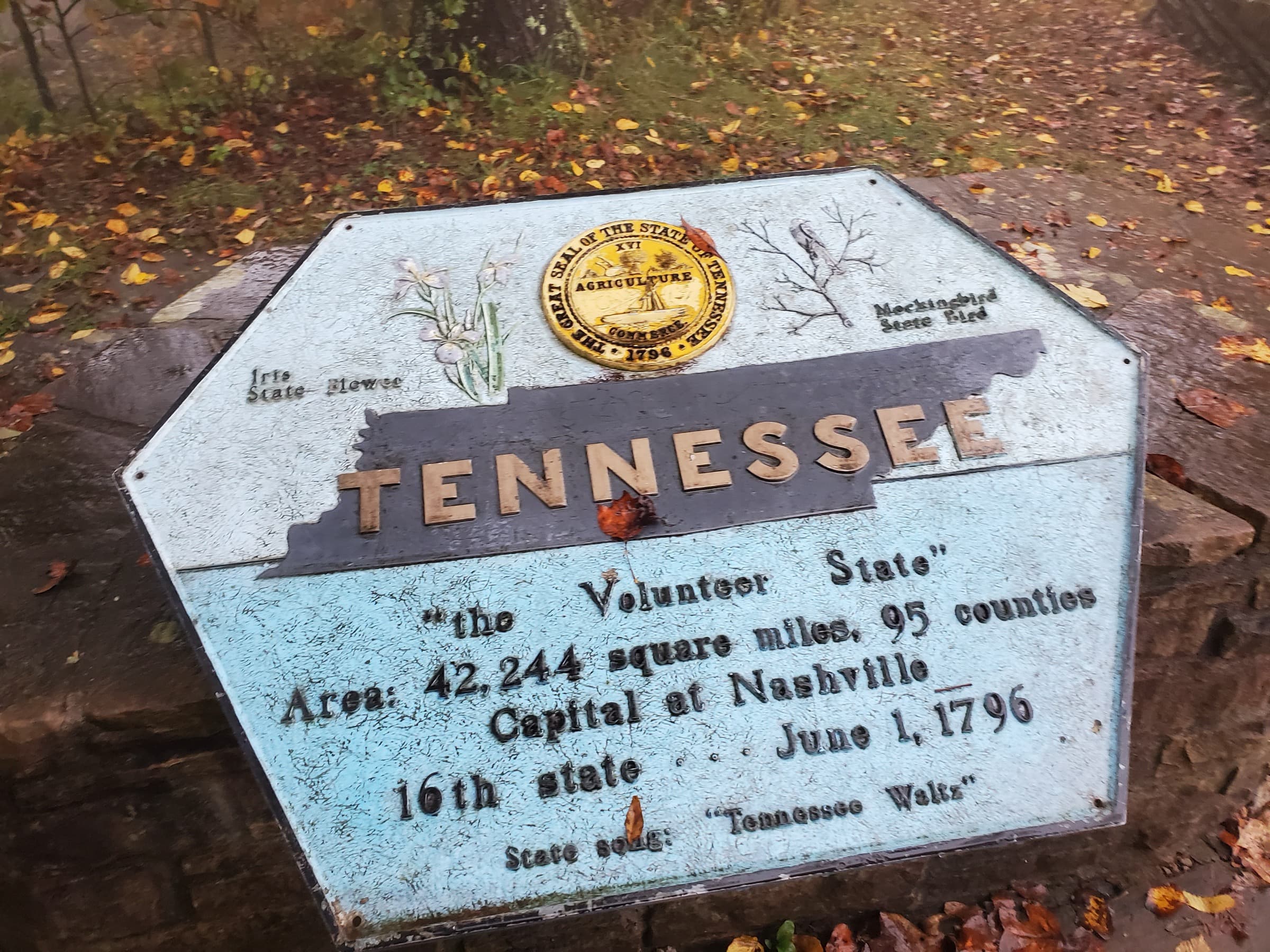
From the edge of Cumberland Gap, the trail follows the restored Wilderness Road, the route Daniel Boone blazed through the mountains, up to the saddle of the gap. A spur climbs to Tri-State Peak, where a small pavilion and three state markers sit at the point Tennessee, Kentucky, and Virginia share. Interpretive signs along the way trace the gap's role from buffalo trace to pioneer gateway to a Civil War prize fought over by both armies.