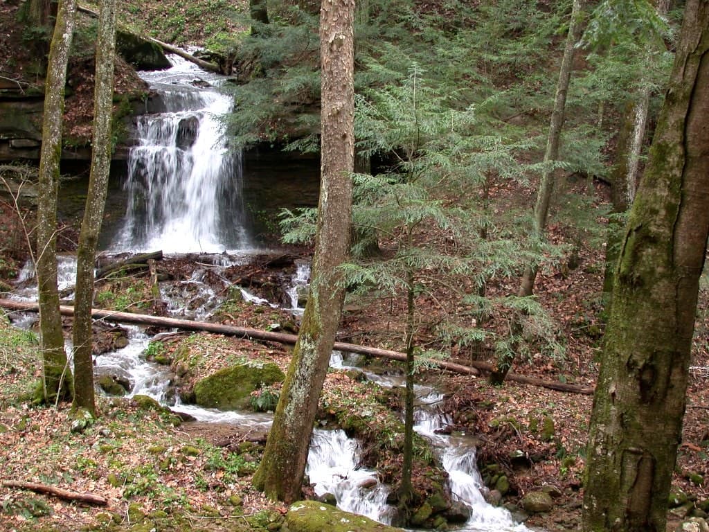
Debord and Emory Gap Falls
An easy 2.3-mile out-and-back along Panther Branch to the 12-foot Debord Falls and the taller 19-foot Emory Gap Falls.
Record this hike live
Recording keeps going as you move between screens, even with the screen off. Finish or Discard stops it.
- Length
- 2.3 mi
- Elevation gain
- 450 ft
- Difficulty
- easy
- Route
- out-and-back
Trail conditions
No recent condition reports. Hiked it lately?
Report current conditions →Elevation
1.1 mi · 449 ft of climbing · high 1,962 ft · low 1,514 ft
Find the trailhead
Parking
Panther Branch trailhead at the end of Flat Fork Road; free. The streamside rocks are slick after rain.
Directions to parkingWeather at the trailhead
81°FOvercast now
Sunrise 6:44 AM · Sunset 8:44 PM
- TodayOvercast82° / 62°F0% precip
- SatRain showers80° / 68°F50% precip
- SunRain77° / 65°F64% precip
Forecast from Open-Meteo. Mountain conditions change fast; check again before you go.
From the Panther Branch trailhead the path follows an old logging railroad bed up the North Prong of Flat Fork, reaching two-tiered Debord Falls in about half a mile, where wooden steps drop to the base. Continuing on, the route turns up the Emory Gap spur to taller Emory Gap Falls, which plunges off a sandstone lip at the end of the trail. It is one of the gentlest hikes in the park, good for families.