Highland Rim Nature Trail
A short but steep loop dropping off the Highland Rim to a Caney Fork River and Center Hill Lake view, near the park's observation tower.
Record this hike live
Recording keeps going as you move between screens, even with the screen off. Finish or Discard stops it.
- Length
- 1.4 mi
- Elevation gain
- 341 ft
- Difficulty
- moderate
- Route
- loop
Trail conditions
No recent condition reports. Hiked it lately?
Report current conditions →Elevation
1.3 mi · 431 ft of climbing · high 1,013 ft · low 653 ft
Find the trailhead
Parking
Near the visitor center off Edgar Evins State Park Road; free. The climb back up from the water is the workout.
Directions to parkingWeather at the trailhead
73°FOvercast now
Sunrise 5:49 AM · Sunset 7:49 PM
- TodayOvercast88° / 60°F3% precip
- SatRain82° / 68°F77% precip
- SunDrizzle74° / 63°F77% precip
Forecast from Open-Meteo. Mountain conditions change fast; check again before you go.
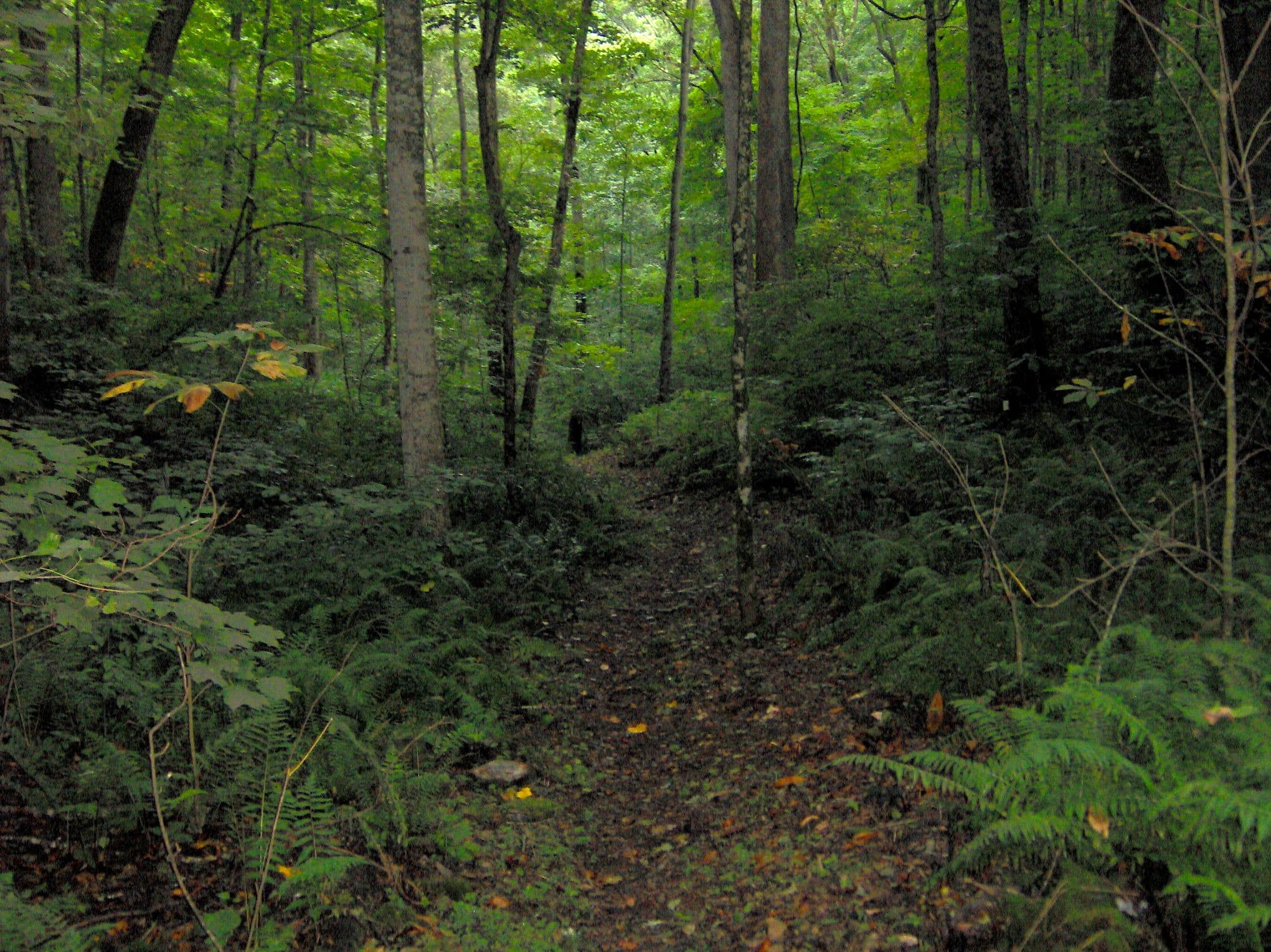
The Highland Rim Nature Trail descends from the bluff near the visitor center through wildflower-rich hardwood forest to the water's edge on the Caney Fork arm of Center Hill Lake. It is only about a mile and a half, but loses and regains over 300 feet. The trailhead sits near the park's tall lookout tower, a good orientation stop before or after.