
Fall Creek Falls
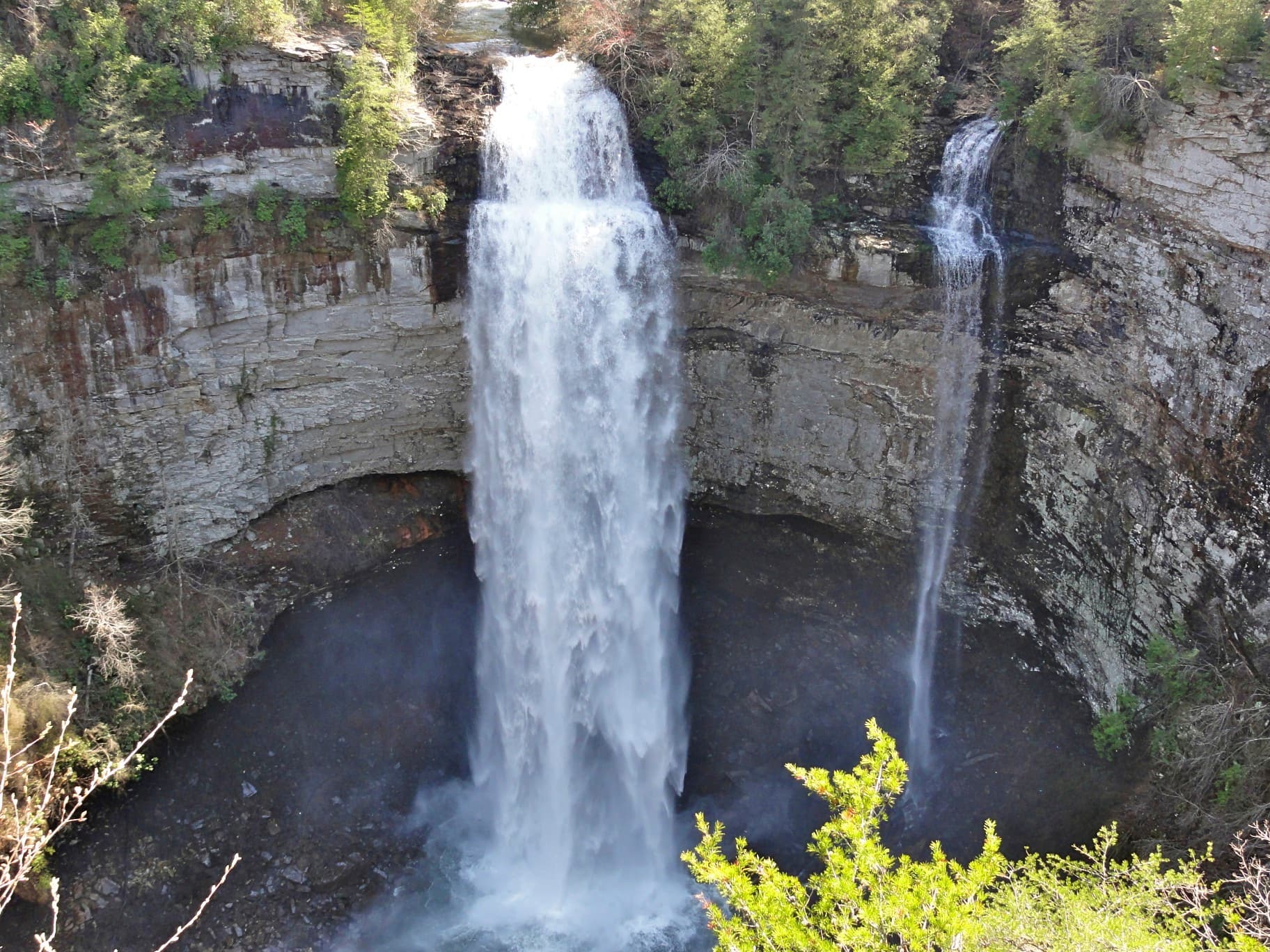
A short but steep descent to the base of one of the tallest waterfalls in the eastern U.S., plunging 256 feet into a shaded gorge.
Record this hike live
Recording keeps going as you move between screens, even with the screen off. Finish or Discard stops it.
- Length
- 2 mi
- Elevation gain
- 400 ft
- Difficulty
- moderate
- Route
- out-and-back
Trail conditions
- Muddy · · Out of date “Very muddy and slippery from all the rain. Waterfall is flowing more than normal.”
Elevation
0.8 mi · 277 ft of climbing · high 1,727 ft · low 1,467 ft
Find the trailhead
Parking
Nearest parking from OpenStreetMap (not verified by us).
Directions to parkingParking data © OpenStreetMap contributors.
Weather at the trailhead
62°FMainly clear now
Sunrise 6:44 AM · Sunset 6:11 PM
- TodayRain64° / 58°F67% precip
- MonOvercast78° / 55°F0% precip
- TuePartly cloudy82° / 60°F0% precip
Forecast from Open-Meteo. Mountain conditions change fast; check again before you go.
The signature hike of Tennessee's flagship state park. From the overlook, a steep, rocky trail drops to the base of Fall Creek Falls, where the water free-falls 256 feet into a cool, misty plunge pool. It's short but the climb back out is a workout, and the rocks stay slick; take your time. Pair it with the nearby Cane Creek and Piney Falls overlooks for a full day.