
Laurel-Snow Pocket Wilderness
A climb through old-growth hemlock to Laurel Falls and the Buzzard Point overlook on Walden Ridge.
Record this hike live
Recording keeps going as you move between screens, even with the screen off. Finish or Discard stops it.
- Length
- 5.5 mi
- Elevation gain
- 700 ft
- Difficulty
- moderate
- Route
- out-and-back
Trail conditions
No recent condition reports. Hiked it lately?
Report current conditions →Elevation
4.8 mi · 1,582 ft of climbing · high 1,827 ft · low 916 ft
Find the trailhead
Parking
Nearest parking from OpenStreetMap (not verified by us).
Directions to parkingParking data © OpenStreetMap contributors.
Weather at the trailhead
69°FClear now
Sunrise 7:44 AM · Sunset 7:08 PM
- TodayFog81° / 54°F0% precip
- TueClear84° / 63°F0% precip
- WedOvercast84° / 67°F1% precip
Forecast from Open-Meteo. Mountain conditions change fast; check again before you go.
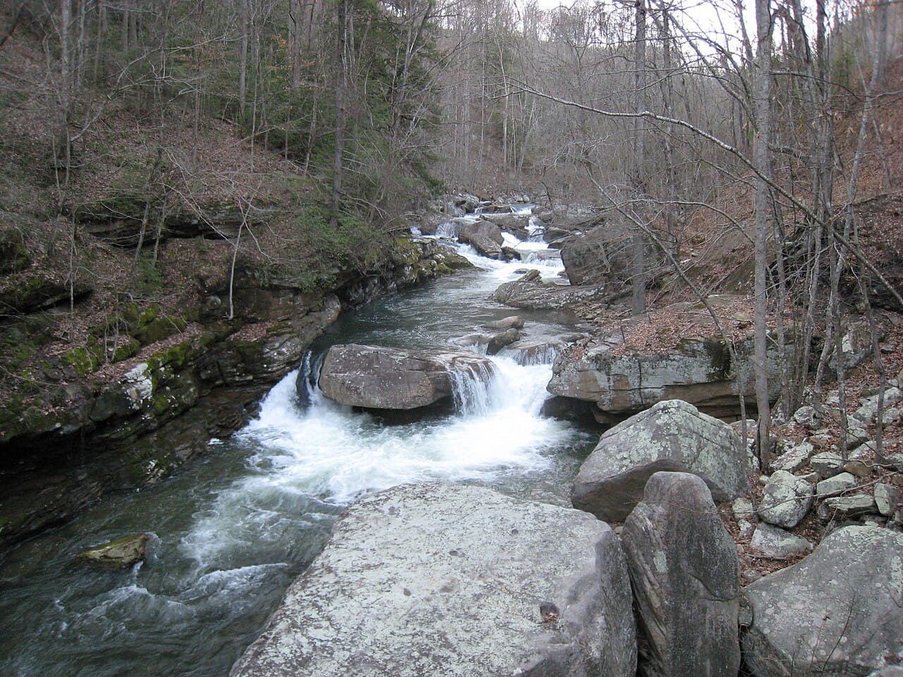
The trail leaves the Walden Ridge trailhead outside Dayton and climbs gradually along Richland Creek through old-growth hemlock to Laurel Falls, an 80-foot plunge that thins to a misty veil by late summer. Continuing past the falls, the route tops out at the Buzzard Point overlook with broad views east over the Tennessee Valley. Snow Falls is a side spur for those who want the longer day. Dogs welcome on leash; no entry fees.