Middle Prong Trail
A wide, graded 7.8-mile round trip up Lynn Camp Prong from Tremont, passing a string of roadside-quality cascades in the first mile before climbing gently to secluded Indian Flats Falls.
Record this hike live
Recording keeps going as you move between screens, even with the screen off. Finish or Discard stops it.
- Length
- 7.8 mi
- Elevation gain
- 1,200 ft
- Difficulty
- moderate
- Route
- out-and-back
Trail conditions
No recent condition reports. Hiked it lately?
Report current conditions →Elevation
3.9 mi · 1,249 ft of climbing · high 3,155 ft · low 1,909 ft
Find the trailhead
Parking
Gravel lot at the end of Tremont Road, just past where the pavement ends at the Great Smoky Mountains Institute; a park-wide parking tag is required.
The upper gravel section of Tremont Road closes to vehicles in winter, adding road-walk distance.
Directions to parkingWeather at the trailhead
82°FMainly clear now
Sunrise 6:40 AM · Sunset 8:42 PM
- TodayRain showers87° / 74°F44% precip
- WedOvercast83° / 71°F14% precip
- ThuOvercast80° / 61°F12% precip
Forecast from Open-Meteo. Mountain conditions change fast; check again before you go.
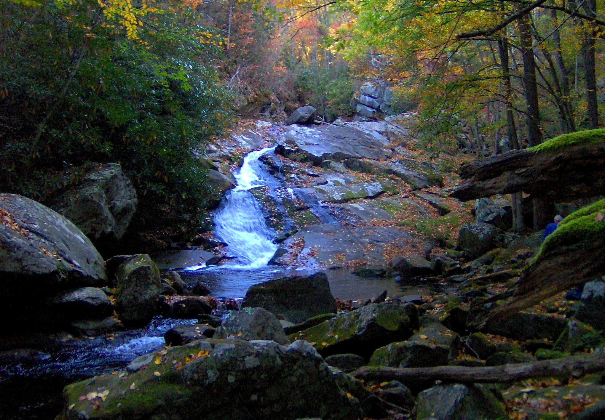
Middle Prong follows an old logging railroad grade up Lynn Camp Prong from the end of Tremont Road, which means the climbing is steady but never steep and the creek is in sight or earshot the whole way. The payoff starts immediately: within the first half mile a footbridge and a viewing area face Lynn Camp Prong Cascades, the long sliding falls that many visitors come to see on their own, and the grade keeps passing chutes and pools as it climbs through a valley that was clear-cut by the Little River Lumber Company a century ago — watch for the rusted hulk of a Cadillac abandoned just off the trail near mile two. Most hikers turn around at Indian Flats Falls, a four-tiered 60-foot waterfall reached by a short, easy-to-miss side path off the fourth switchback about 3.9 miles up. The wide tread handles crowds and wet weather well, but the upper gravel stretch of Tremont Road is closed in winter, and the slick rock around every cascade here has caused serious falls — admire from the trail.