
Mount LeConte via Alum Cave Trail
The classic strenuous climb past Arch Rock and Alum Cave Bluffs to the 6,593-ft summit of Mount LeConte.
Record this hike live
Recording keeps going as you move between screens, even with the screen off. Finish or Discard stops it.
- Length
- 11 mi
- Elevation gain
- 2,763 ft
- Difficulty
- strenuous
- Route
- out-and-back
Trail conditions
No recent condition reports. Hiked it lately?
Report current conditions →Elevation
1.9 mi · 2,763 ft of climbing · high 6,593 ft · low 3,830 ft
Along the trail
Arch Rock · Arch
A stone arch the trail climbs through on cable-assisted steps, about 1.3 miles in.
Mount LeConte summit (High Top) · Summit
The High Top at 6,593 ft, third-highest peak in the Smokies.
Cliff Top · Viewpoint
West-facing ledge near LeConte Lodge, the classic sunset spot.
Myrtle Point · Viewpoint
East-facing overlook past the lodge, prized for sunrise.
Find the trailhead
Parking
Nearest parking from OpenStreetMap (not verified by us).
Directions to parkingParking data © OpenStreetMap contributors.
Weather at the trailhead
56°FPartly cloudy now
Sunrise 7:37 AM · Sunset 7:03 PM
- TodayRain61° / 53°F71% precip
- MonRain64° / 53°F28% precip
- TueClear74° / 55°F0% precip
Forecast from Open-Meteo. Mountain conditions change fast; check again before you go.
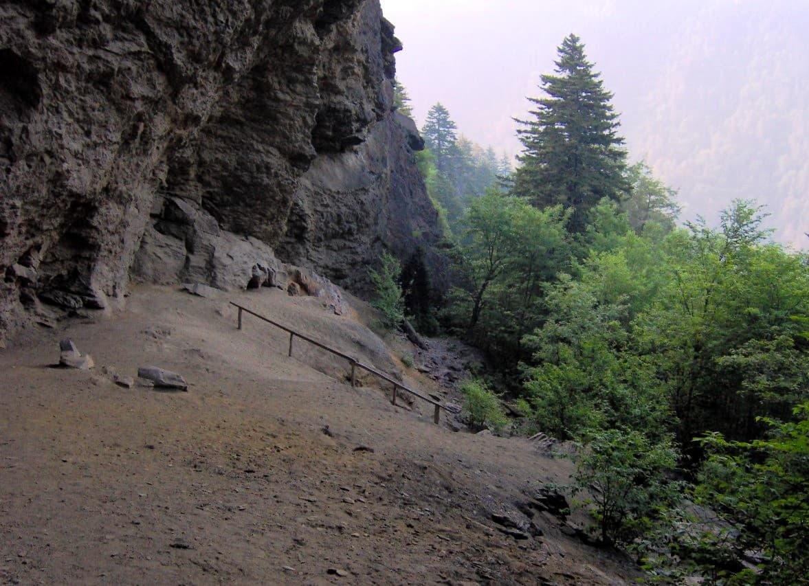
One of the most beloved hikes in the Smokies. The Alum Cave Trail climbs steadily past Arch Rock and the Alum Cave Bluffs, then traces a string of cliffside overlooks before topping out near LeConte Lodge. Expect steel cables on the exposed sections, crowds in summer and fall, and weather that turns fast near the summit; pack layers and start early. A parking tag is required park-wide.