River Bluff Trail
A riverside-and-ridge loop in a protected wild area below Norris Dam, known as one of the area's best spring wildflower hikes.
Record this hike live
Recording keeps going as you move between screens, even with the screen off. Finish or Discard stops it.
- Length
- 3.1 mi
- Elevation gain
- 210 ft
- Difficulty
- moderate
- Route
- loop
Trail conditions
No recent condition reports. Hiked it lately?
Report current conditions →Elevation
2.7 mi · 523 ft of climbing · high 1,229 ft · low 826 ft
Find the trailhead
Parking
Small hiking-only lot at the end of Dabney Lane off Norris Freeway (US-441), on the west side of the dam.
Directions to parkingWeather at the trailhead
84°FOvercast now
Sunrise 6:42 AM · Sunset 8:42 PM
- TodayOvercast87° / 61°F0% precip
- SatRain81° / 70°F45% precip
- SunRain85° / 68°F81% precip
Forecast from Open-Meteo. Mountain conditions change fast; check again before you go.
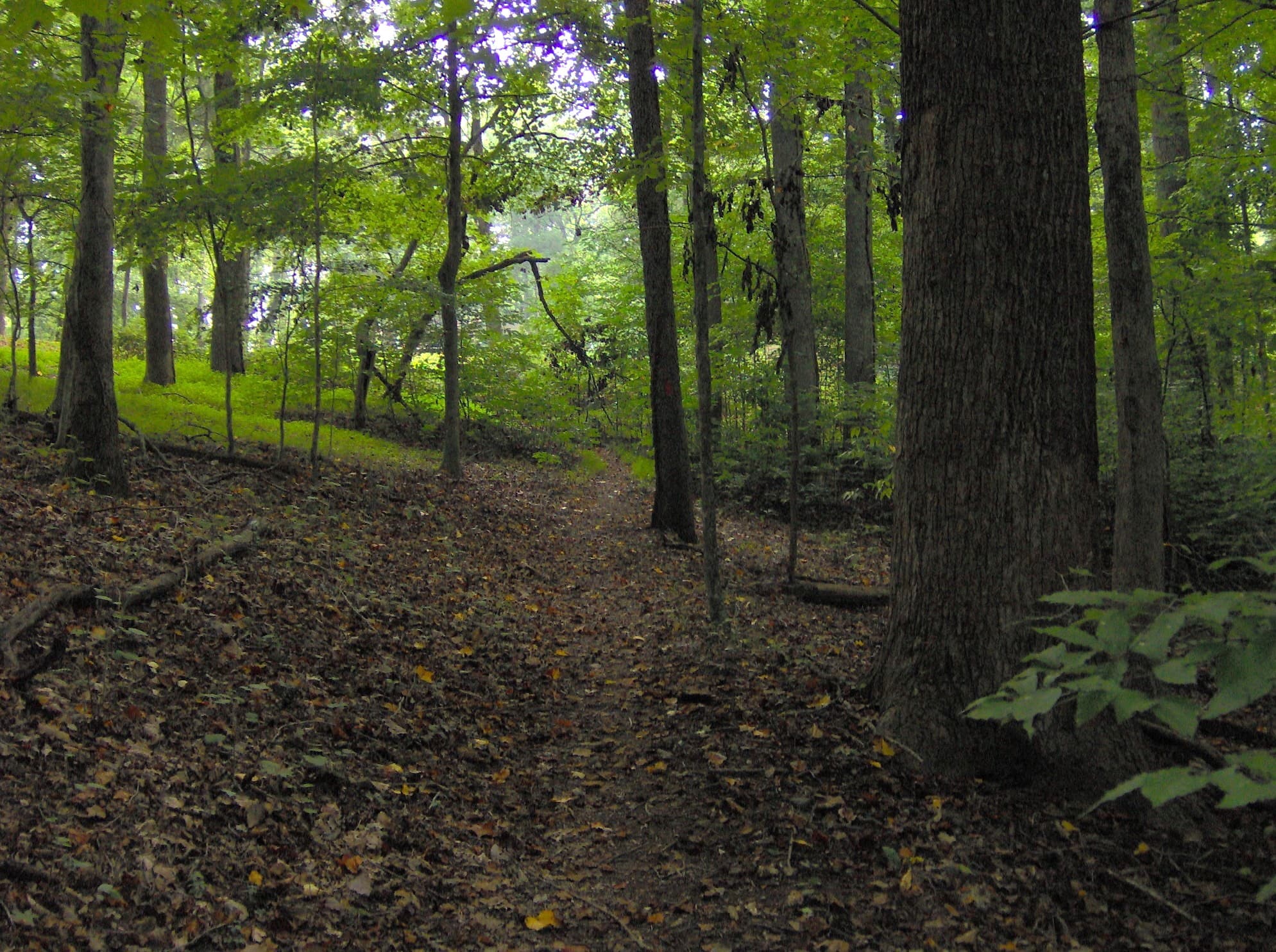
Half the loop runs flat along the Clinch River with views of the dam and its aerating weirs, while the other half climbs to follow a ridge crest on an old road grade left from the 1930s dam construction. Spring brings strong wildflower displays of bloodroot and trout lilies, concentrated near the river. It is a quiet, forested loop a short drive from Knoxville.