
Piney Falls Trail
A short but rewarding loop into a rugged gorge to one of Tennessee's few walk-behind waterfalls, featuring creek crossings, old-growth forest, and a cable-assisted climb out.
Record this hike live
Recording keeps going as you move between screens, even with the screen off. Finish or Discard stops it.
- Length
- 1.8 mi
- Elevation gain
- 350 ft
- Difficulty
- moderate
- Route
- loop
Trail conditions
No recent condition reports. Hiked it lately?
Report current conditions →Elevation
1.2 mi · 245 ft of climbing · high 1,479 ft · low 1,348 ft
Find the trailhead
Parking
Nearest parking from OpenStreetMap (not verified by us).
Directions to parkingParking data © OpenStreetMap contributors.
Weather at the trailhead
66°FClear now
Sunrise 7:45 AM · Sunset 7:05 PM
- TodayOvercast80° / 60°F5% precip
- ThuDrizzle81° / 67°F9% precip
- FriOvercast78° / 48°F3% precip
Forecast from Open-Meteo. Mountain conditions change fast; check again before you go.
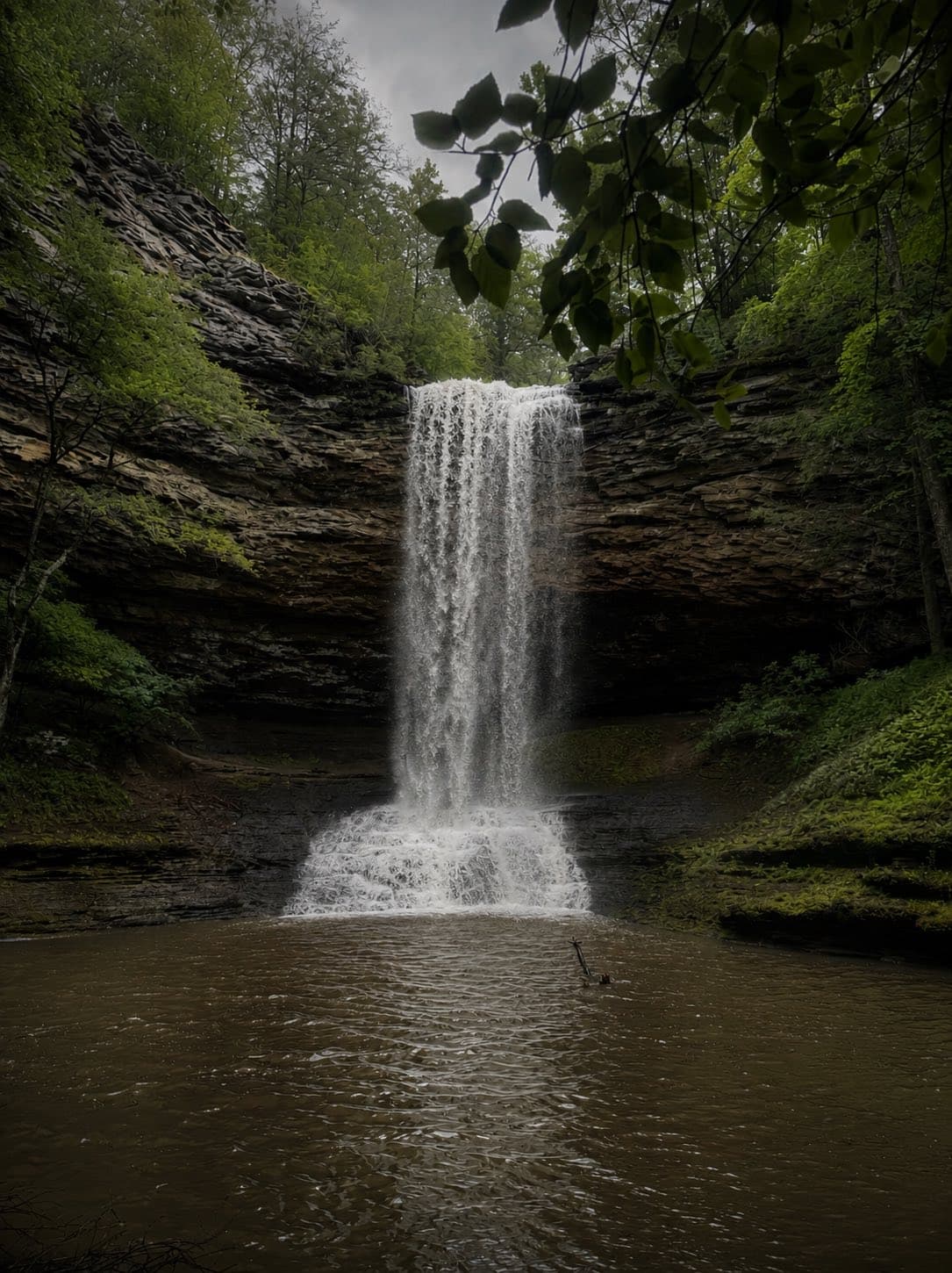
Piney Falls State Natural Area — also a National Natural Landmark — protects one of East Tennessee's most remarkable gorges, and this loop delivers the best of it. The trail drops through old-growth forest and past mossy rock formations to the base of Piney Falls, a roughly 80-foot cascade you can step behind, a rare treat in Tennessee. Creek crossings add a little adventure, and the route out uses a fixed cable to pull you up a steep rock face. The climb back to the trailhead is the hardest part, but it's short. Go after a rain for full flow, but expect slick rocks — take your time on the crossings and the cable section.