Rocky Fork Creek Trail
A gentle streamside walk up Rocky Fork Creek past cascades, deep pools, and giant boulders in Tennessee's highest-altitude state park.
Record this hike live
Recording keeps going as you move between screens, even with the screen off. Finish or Discard stops it.
- Length
- 1.4 mi
- Elevation gain
- 300 ft
- Difficulty
- easy
- Route
- out-and-back
Trail conditions
No recent condition reports. Hiked it lately?
Report current conditions →Elevation
0.7 mi · 188 ft of climbing · high 2,533 ft · low 2,357 ft
Find the trailhead
Parking
Gated trailhead on Rocky Fork Road in Unicoi County; free. Access is a narrow one-lane road with limited parking, so carpooling is encouraged.
Directions to parkingWeather at the trailhead
72°FOvercast now
Sunrise 6:36 AM · Sunset 8:36 PM
- TodayOvercast82° / 57°F2% precip
- SatDrizzle82° / 67°F31% precip
- SunDrizzle84° / 66°F55% precip
Forecast from Open-Meteo. Mountain conditions change fast; check again before you go.
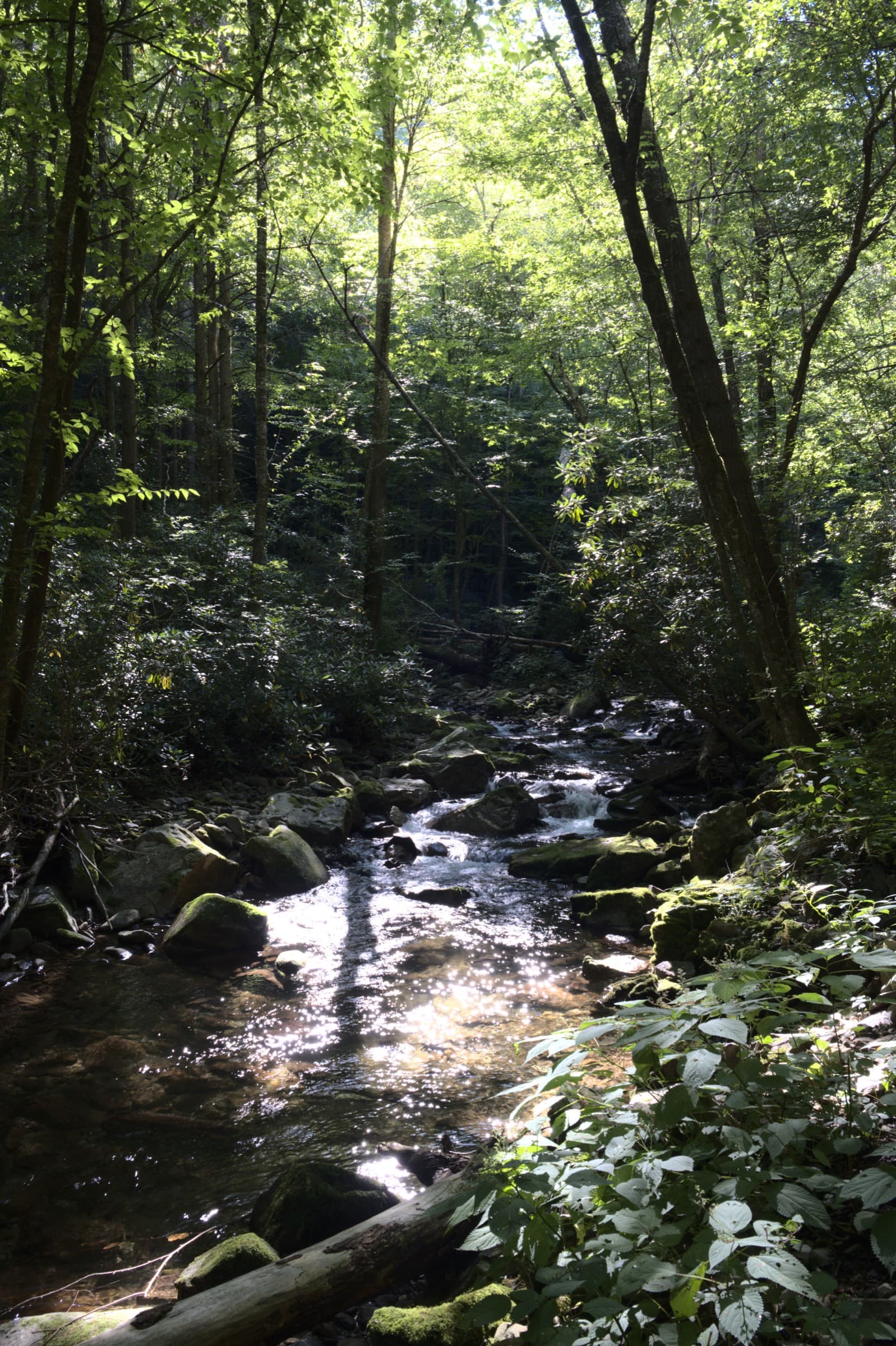
From the gated trailhead, a well-maintained gravel path follows Rocky Fork Creek upstream along old logging grades, passing a long run of cascades, clear plunge pools, and house-sized boulders. The creek is a wild trout stream, and the route connects to steeper trails like Headwaters and Whitehouse Cliffs for a longer day or a Blue Ridge overlook.