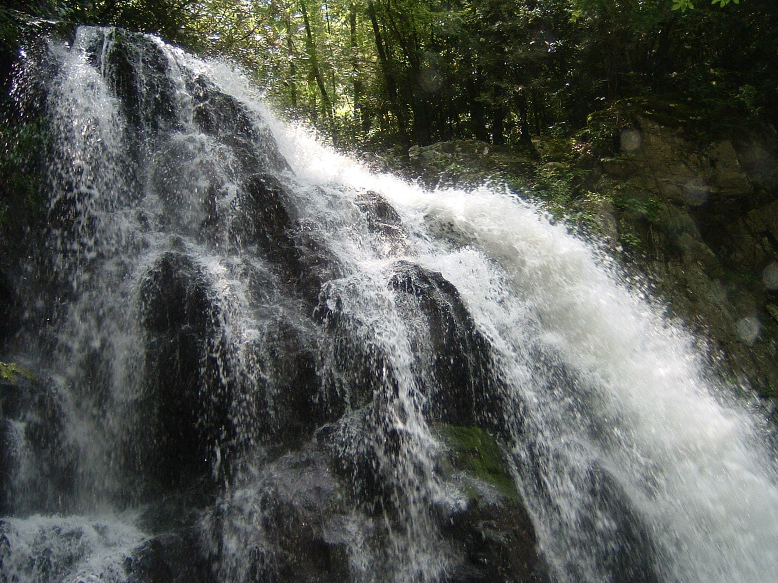
Spruce Flats Falls
A short but steep 1.6-mile round trip from the Tremont Institute to a 30-foot waterfall, reached in about two-thirds of a mile.
Record this hike live
Recording keeps going as you move between screens, even with the screen off. Finish or Discard stops it.
- Length
- 1.6 mi
- Elevation gain
- 460 ft
- Difficulty
- moderate
- Route
- out-and-back
Trail conditions
No recent condition reports. Hiked it lately?
Report current conditions →Elevation
0.6 mi · 342 ft of climbing · high 1,669 ft · low 1,348 ft
Find the trailhead
Parking
Great Smoky Mountains Institute at Tremont; a park parking tag is required. The rocks around the plunge pool are slick. Pets are not allowed on park trails.
Directions to parkingWeather at the trailhead
76°FClear now
Sunrise 6:42 AM · Sunset 8:39 PM
- TodayOvercast87° / 65°F3% precip
- SatDrizzle86° / 74°F49% precip
- SunDrizzle88° / 67°F51% precip
Forecast from Open-Meteo. Mountain conditions change fast; check again before you go.
The trail leaves from the Great Smoky Mountains Institute at Tremont, climbing a service road before turning onto a rooty, rocky footpath over a low ridge and dropping to the falls. It is a favorite quick hike in the Tremont area, but the tread is uneven and the short distance belies a trail that earns its moderate rating.