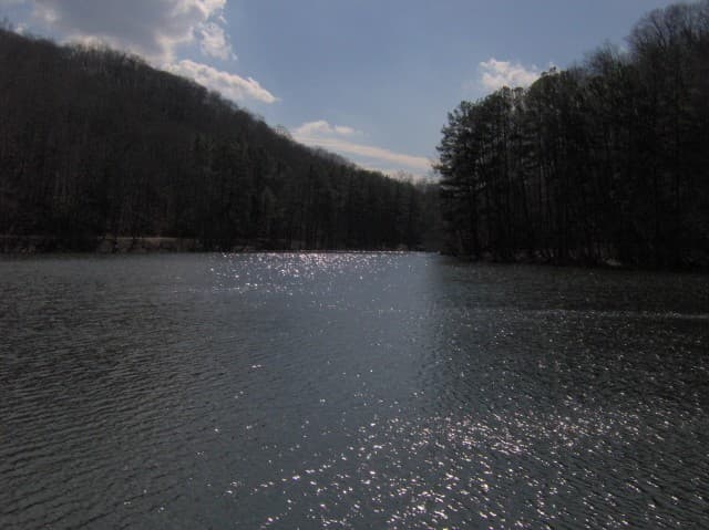
Standing Stone Lake Trail
A 4.5-mile loop circling 69-acre Standing Stone Lake through the hardwood forest of this CCC-built park near Hilham.
Record this hike live
Recording keeps going as you move between screens, even with the screen off. Finish or Discard stops it.
- Length
- 4.5 mi
- Elevation gain
- 511 ft
- Difficulty
- moderate
- Route
- loop
Trail conditions
No recent condition reports. Hiked it lately?
Report current conditions →Elevation
4.0 mi · 619 ft of climbing · high 944 ft · low 702 ft
Find the trailhead
Parking
Recreation area below the dam, where the Lake Trail crosses Mill Creek on a suspension bridge; free.
Directions to parkingWeather at the trailhead
86°FOvercast now
Sunrise 5:47 AM · Sunset 7:48 PM
- TodayOvercast87° / 63°F3% precip
- SatDrizzle85° / 73°F55% precip
- SunDrizzle77° / 65°F54% precip
Forecast from Open-Meteo. Mountain conditions change fast; check again before you go.
From the recreation area below the dam, the trail crosses Mill Creek on a suspension bridge and circles Standing Stone Lake, climbing a few short, steep grades between long stretches of lakeshore woods. It passes the boathouse and historic park structures, with the best water views near the dam end of the loop.