The Sinks & Meigs Creek Trail
A quieter Smokies hike that starts at the powerful Little River cascade known as The Sinks, then climbs the Meigs Creek Trail through coves and old forest with a string of small waterfalls and many creek crossings.
Record this hike live
Recording keeps going as you move between screens, even with the screen off. Finish or Discard stops it.
- Length
- 9 mi
- Elevation gain
- 1,300 ft
- Difficulty
- strenuous
- Route
- out-and-back
Trail conditions
No recent condition reports. Hiked it lately?
Report current conditions →Elevation
4.5 mi · 953 ft of climbing · high 2,413 ft · low 1,549 ft
Find the trailhead
Parking
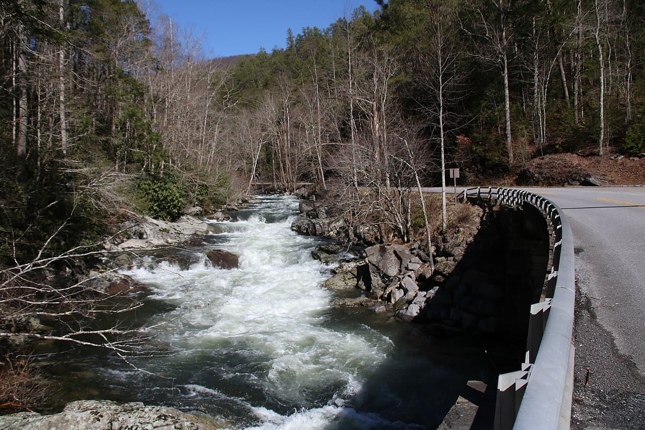
The small lot at The Sinks on Little River Road fills fast; the cascade overlook is a few steps away, the Meigs Creek Trail leaves from the same spot.
The many unbridged creek crossings can be impassable after heavy rain.
Directions to parkingWeather at the trailhead
81°FMainly clear now
Sunrise 6:39 AM · Sunset 8:42 PM
- TodayRain showers86° / 73°F44% precip
- WedOvercast81° / 69°F14% precip
- ThuOvercast80° / 60°F12% precip
Forecast from Open-Meteo. Mountain conditions change fast; check again before you go.
The Sinks is one of the most popular stops on Little River Road, where the whole river funnels through a narrow rock chute into a churning pool. Most visitors photograph it and leave, but the Meigs Creek Trail slips away from the same lot into a far quieter side of the park. It climbs over a low ridge and then follows Meigs Creek up its cove, crossing the stream more than a dozen times (expect wet feet) past small cascades and through stands of old hemlock and hardwood. Do not swim or wade at The Sinks itself, where the current is deadly. A parking tag is required park-wide.