Discovery Trail
A wooded bluff-and-bottomland loop through the nation's second state park open to African Americans, near the Chucalissa archaeological site.
Record this hike live
Recording keeps going as you move between screens, even with the screen off. Finish or Discard stops it.
- Length
- 3.5 mi
- Elevation gain
- 150 ft
- Difficulty
- moderate
- Route
- loop
Trail conditions
No recent condition reports. Hiked it lately?
Report current conditions →Elevation
3.0 mi · 518 ft of climbing · high 311 ft · low 221 ft
Find the trailhead
Parking
Trailhead at the visitor center on W Mitchell Road; free day use, no parking fee. Bottomland sections can be muddy after rain.
Directions to parkingWeather at the trailhead
81°FOvercast now
Sunrise 6:09 AM · Sunset 8:04 PM
- TodayRain showers90° / 75°F43% precip
- SatRain88° / 74°F44% precip
- SunDrizzle79° / 70°F30% precip
Forecast from Open-Meteo. Mountain conditions change fast; check again before you go.
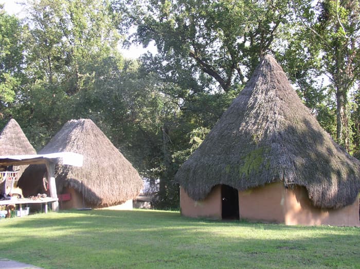
The Discovery Trail winds through hardwood forest on the bluffs above the Mississippi River floodplain, with boardwalk and wetland stretches and interpretive ties to the Chucalissa Indian Village at the adjacent C.H. Nash Museum. Terrain is gently rolling with a few short climbs, beginning and ending at the visitor center. The park holds roughly six miles of interconnecting trail, so carry the park map and watch the signage.