
Virgin Falls
A strenuous Cumberland Plateau trek to a 110-foot waterfall that pours from a cave mouth and vanishes back into the ground.
Record this hike live
Recording keeps going as you move between screens, even with the screen off. Finish or Discard stops it.
- Length
- 8.6 mi
- Elevation gain
- 1,610 ft
- Difficulty
- strenuous
- Route
- out-and-back
Trail conditions
Caution ·
Several creek crossings can be impassable after heavy rain. Check the forecast and turn back if water is high or fast.
- Open · · Out of date “Trail muddy but passable; falls flowing strong after spring rain.”
Elevation
3.5 mi · 316 ft of climbing · high 1,766 ft · low 890 ft
Find the trailhead
Parking
Free gravel lot at the trailhead; fills on fall weekends, so arrive early.
The access road is rough but passable for 2WD vehicles in dry conditions.
Directions to parkingWeather at the trailhead
61°FPartly cloudy now
Sunrise 6:44 AM · Sunset 6:10 PM
- TodayRain63° / 56°F65% precip
- MonFog76° / 53°F1% precip
- TueClear80° / 60°F0% precip
Forecast from Open-Meteo. Mountain conditions change fast; check again before you go.
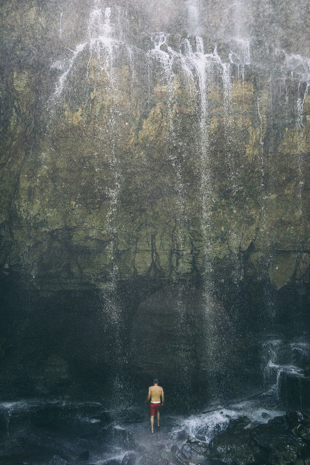
A Cumberland Plateau classic. The trail descends through hardwood forest past several falls before reaching Virgin Falls itself, where an underground stream bursts from a cave, drops 110 feet, and disappears into a sinkhole at the base. The full loop is long, rugged, and often muddy; wear sturdy boots and carry water. Backcountry camping is allowed at designated sites.