Wolf River Greenway
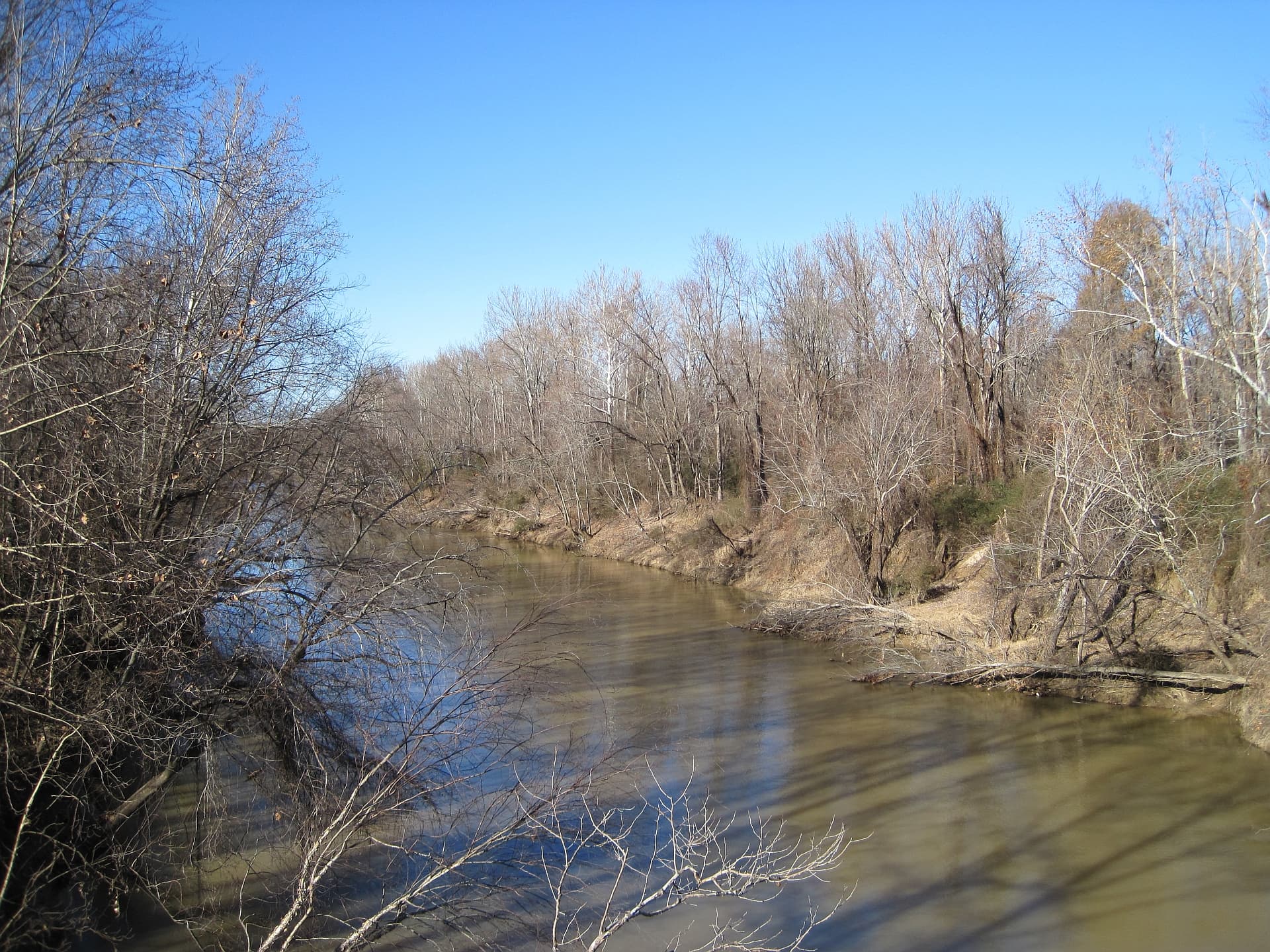
A flat, paved riverside segment of the Wolf River Greenway running along the Wolf River in east Memphis.
Record this hike live
Recording keeps going as you move between screens, even with the screen off. Finish or Discard stops it.
- Length
- 3.3 mi
- Elevation gain
- 30 ft
- Difficulty
- easy
- Route
- out-and-back
Trail conditions
No recent condition reports. Hiked it lately?
Report current conditions →Elevation
1.6 mi · 45 ft of climbing · high 256 ft · low 246 ft
Find the trailhead
Parking
Epping Way trailhead lot off Humphreys Boulevard; free. Smooth pavement, wheelchair- and stroller-accessible.
Directions to parkingWeather at the trailhead
79°FOvercast now
Sunrise 6:08 AM · Sunset 8:03 PM
- TodayRain91° / 74°F41% precip
- SatRain88° / 74°F31% precip
- SunDrizzle79° / 70°F30% precip
Forecast from Open-Meteo. Mountain conditions change fast; check again before you go.
This section parallels the Wolf River between Humphreys Boulevard and the water on smooth pavement, carried over the river on pedestrian bridges. The shaded river-bottom corridor offers easy birding and water views a short drive from downtown Memphis, distinct from the unpaved backcountry trails of the nearby Lucius Burch natural area.